Our activity relies on digital tools developed through several years of Research & Development.
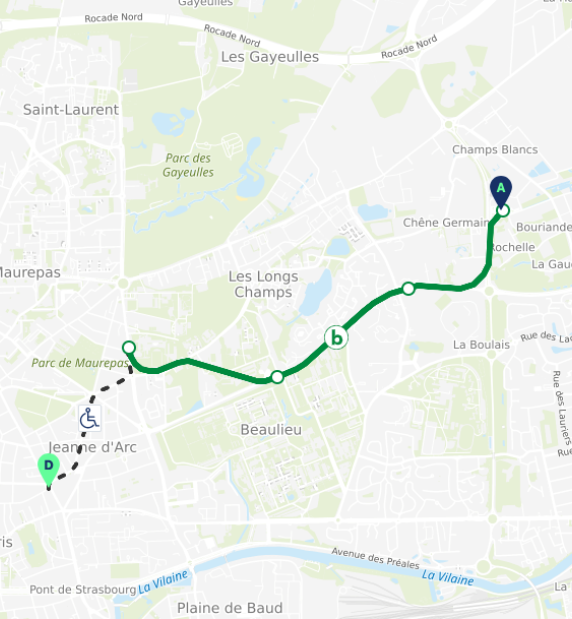
Handimap
Deployed across 87 towns and cities, Handimap is the only route planner that integrates the needs of all pedestrians: people with reduced mobility (motor and visual impairments) and general pedestrians profiles
Local authorities, transport operators and tourism stakeholders
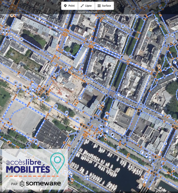
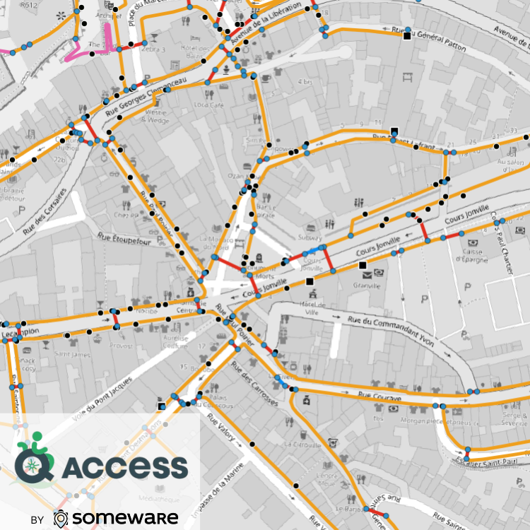
Acceslibre Mobilités is the most effective tool to assess city accessibility and producing standardised data in the NeTEx format, the European standard for accessibility and transport data.
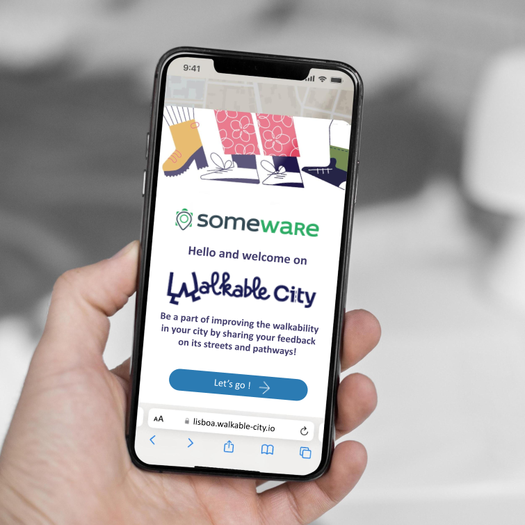
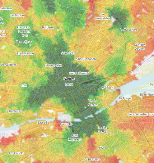
Easy-to-understand scores that can be embedded on any webiste, to provide information about walkability aroud a housing, access to transpportation, shops and green spaces.