
QAccess
The first open source GIS tool to collect and analyse accessibility data.
What is QAccess?
For local authorities, urban planning agencies, and consulting firms
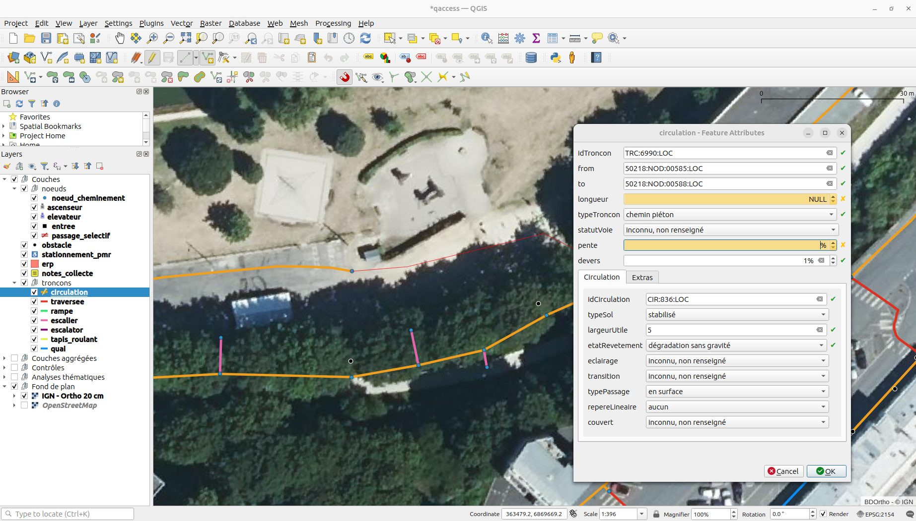
QAccess is a QGIS/QField project and an open source data format designed to simplify the collection, validation, and analysis of accessibility data.
It is intended to any local authority, wishing to manage their own accessibility data collection, particularly in limited areas or for specific events.
While Acceslibre Mobilités enables large scale data collection, QAccess makes small-scale data collection easier.
What QAccess Offers You
A QGIS/QField project to create, control, visualize, and analyze accessibility data.
A Geopackage data structure optimized for efficient management.
Why use QAccess?
Our tool is designed to address the challenges faced by local authorities.
Centralize and manage your data
Structure your accessibility data to meet national requirements and the expectations of disability associations, following recognised European standards such as NeTEx and its accessibility profile for public transport data exchange.
Build your pedestrian network graph
Model your pedestrian routes using drawing tools and by integrating your existing data.
Collect data in the field
Record data directly in the field, take photos and notes.
Check and improve data quality
Check and correct your data directly within QAccess.
Analyze the accessibility of your area
Use thematic analyses to assess slopes, spill, surface condition, crossings, tactile paving, obstacles...
A tool designed for local authorities
QAccess enables local authorities, urban planners, and consulting firms a clear and detailed view of the accessibility of their area.
Thanks to its advanced features, it is a valuable asset for ensuring compliance and improving pedestrian infrastructure.

Do you need an overview of your accessibility data?
We do it for you!
We support you in carrying out your accessibility assessment to better understand the mobility challenges in your area, for people with reduced mobility as well as seniors, children, and all pedestrians.