
Acceslibre Mobilités
What is Acceslibre Mobilités ?
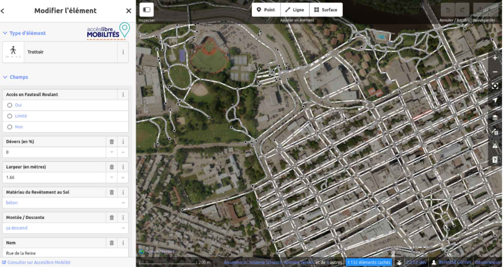
Acceslibre Mobilités is the most effective tool assessing city accessibility. It is based on a structured accessibility data and enables the production of data in the European NeTEx Accessibility format (accessibility and transport standard).
Why collect accessibility data?
Understanding and mapping the accessibility of an area means giving people with disabilities the information they need to travel with confidence, and helping local authorities identify where improvements matter most.
This data also feeds directly into accessible route planner, so that everyone can be offered a journey suited to their needs.
As specialists in accessible route planning and geographic information, we were selected by the French Ministry of Transport through a public tender to develp the open-source survey tool “Acceslibre Mobilités“.
Not sure where to start ?
we will help you scope your data collection project.
The 3 Features of Acceslibre Mobilités
3 data collection interfaces
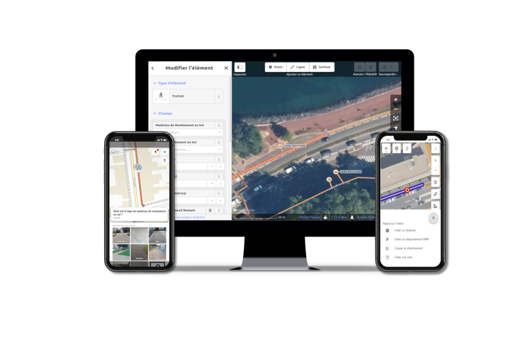
Desktop Web Editor
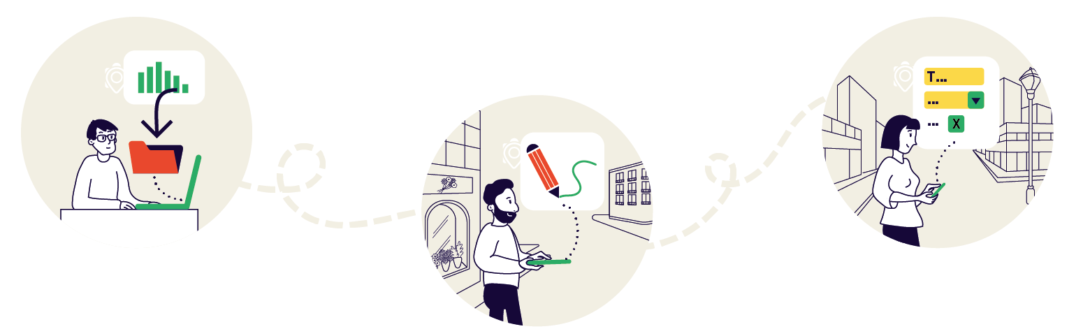
For browsing and editing the data repository, importing existing data and publishing in NeTEx Accessibility format.
The desktop interface allows managing the entire data collection and publication workflow.
Web editor for field data collection
Designed for collecting information, taking photos and notes with an efficient user interface.
This interface is intended for professionals in large-scale data collection.
Mobile application
For occasional data collection on the field, with intuitive user interface.
This application is primarily intended for periodic updates.
Already using it








Our services for local authorities
We have developed a turnkey service to install, configure and host of Acceslibre Mobilités and to traineach local authority’s team.