Handimap
THE pedestrian/accessibility route planner
Handimap is the only route planner that takes into account the needs and preferences of all pedestrians, especially regarding accessibility.
Deployed in 87 towns and cities, it integrates into transport network websites and apps, tourist officices, local authorities, and more.

The only route planner able to combine accessibility assessments, public works, reported obstacles and transport data in real time.
Why offer pedestrian and accessible routes ?
- So that all your residents and visitors can find routes suited to their need, taking into acount several motor and visual impairment profiles.
- To offer routes that follow actual pedestrian pathways (sidewalks, crossing, footpaths), not the middle of the street.
- To leverage your accessibility assessements and real-time data (public works, reported obstacles).
- To avoid impassable routes: inaccessible transport stops/lines, steep slopes, narrow sidewalks, impassables surfaces or crossings, obstacles…
Our offer
We support you through every stage of implementing the Handimap route planner, from technical integration to updating accessibility data.

Handimap, a Solar Impulse solution
Handimap has been awarded the “Solar Impulse Efficient Solution” label, granted by the Solar Impulse Foundation.
This label recognizes innovative solutions that combine environmental efficiency with economic viability.
A recognition for more sustainable mobility
This certification highlights Handimap’s positive impact in the fields of accessibility and pedestrian mobility.
By optimizing routes and improving infrastructure accessibility, Handimap helps enhance public spaces and reduce unnecessary trips, thereby promoting more sustainable mobility.
💡 To Learn more about the label:
Focus on Rennes Métropole's STAR route planner
Handimap has been integrated into the mobile app and website of Rennes Métropole’s STAR public transport network (Keolis) since July 2023.
It calculates all pedestrian routes daily, including those accessible to electric wheelchair users, across every cities in the metropolitan area.
Routes calculated each day
Cities covered
Requests processed in under 100 milliseconds
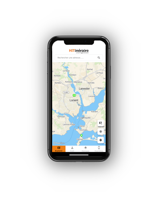
HITinéraire
Created with Lorient Agglomération, as part of the Handicap Innovation Territoire (HIT) project, the HITinéraire web and mobile app helps users identify accessible places and find the best accessible routes.
Users can select their own profile, tailored to their disability, to find the multimodal route best suited to their needs.
Handimap for tourism
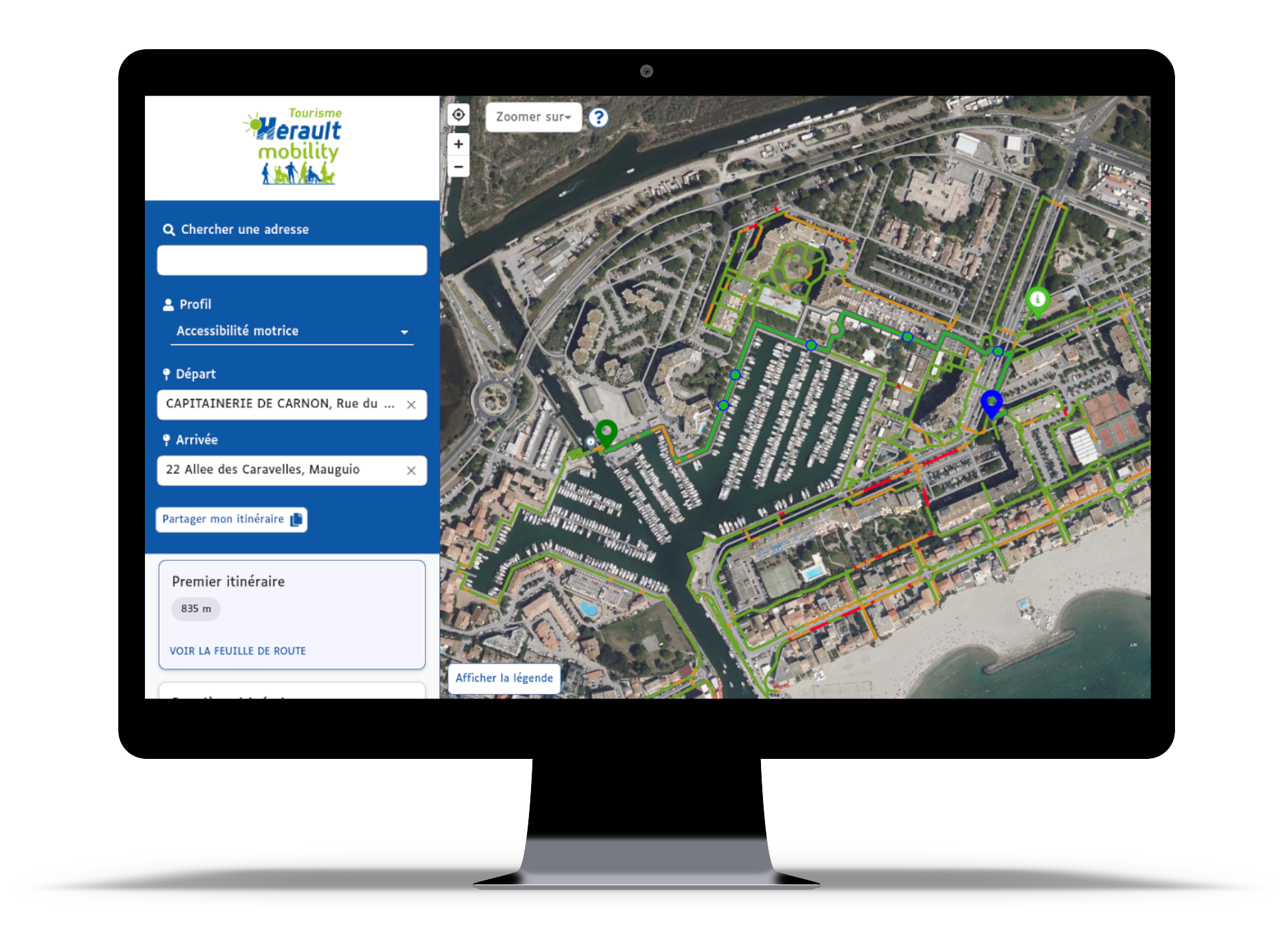
Since 2014, Handimap has been integrated into Hérault Mobility, a website promoting accessible tourism across the Hérault department.
Users can explore the department’s accessible tourism offerings (accommodation, restaurants, activities…) and plan routes across 20 major tourist sites.
Available in 3 languages, with weekly updated data sourced in particular from Tourinsoft (the French tourism office database), the website makes travel easier for all people with reduced mobility visiting the department.
Our clients