
Our services
All our services are built on geographic information
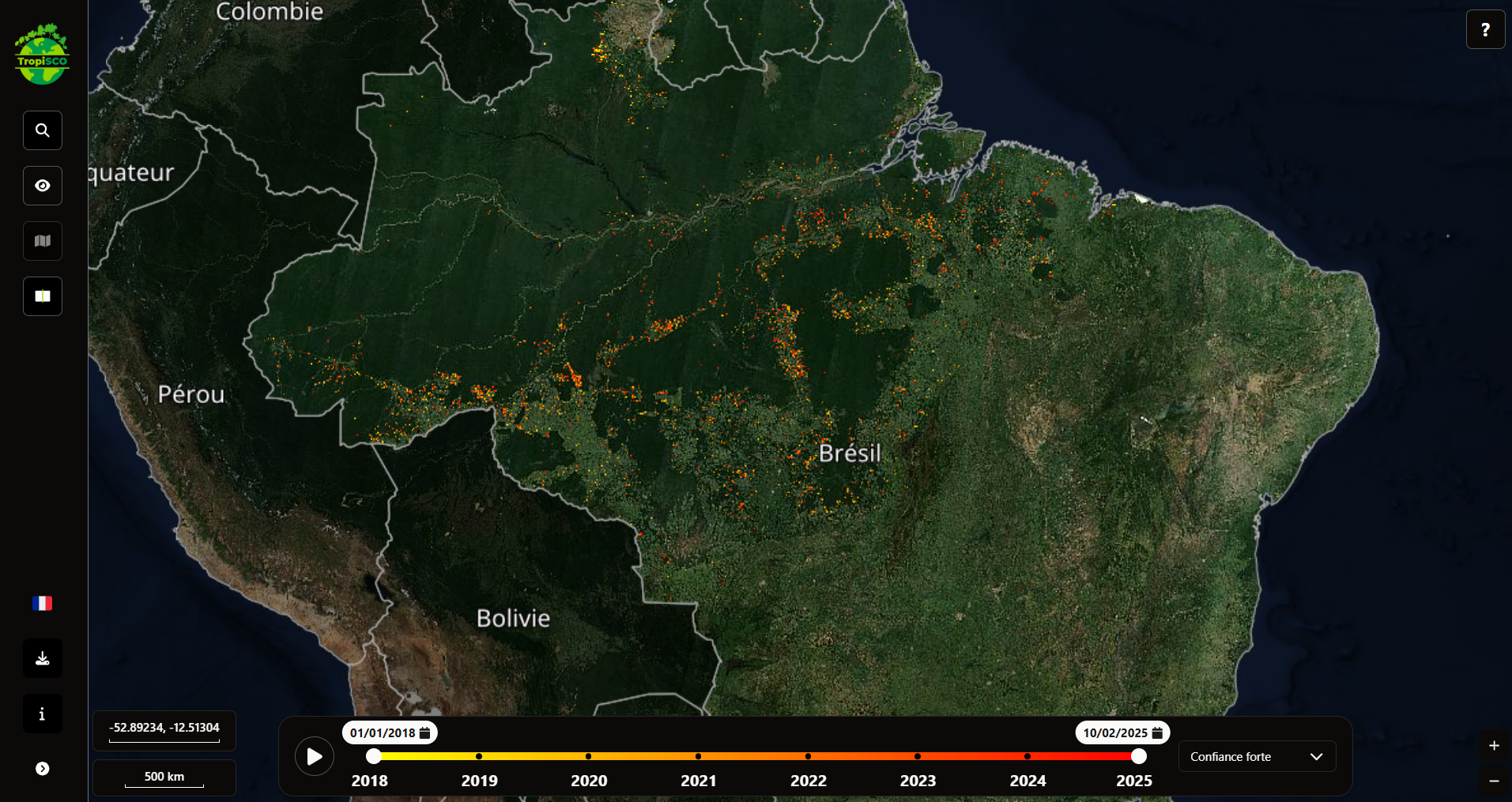
Geographic information development & consulting
We provide consulting and develop business applications throughout the full lifecycle of geographic data.
- End-to-end application design
- Application component design
- Consulting & technical expertise
Implementation of the Handimap route planner
We help local authorities, transport operators, and tourism stakeholders improve traveler information by integrating our accessible route planner, Handimap, into existing websites and applications.
Handimap can also be deployed as a white-label solution to help users plan their journeys.
- For local authorities, transport operators, and tourism agencies
- Fully customisable to fit your platform and branding
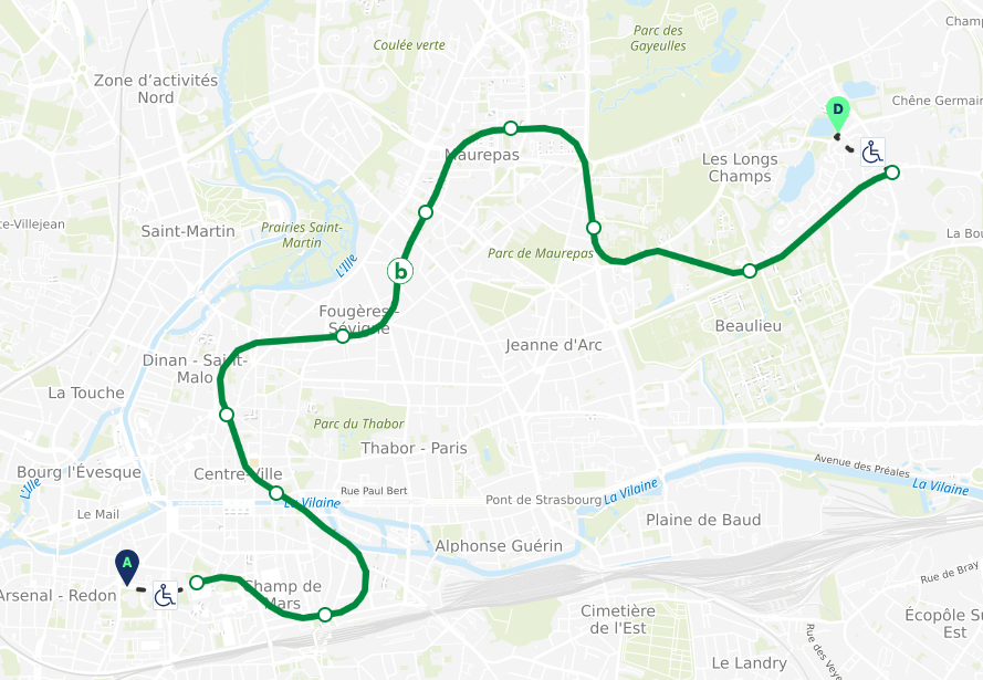
Implementation of the Handimap route planner
We help local authorities, transport operators, and tourism stakeholders improve traveler information by integrating our accessible route planner, Handimap, into existing websites and applications.
Handimap can also be deployed as a white-label solution to help users plan their journeys.
- For local authorities, transport operators, and tourism agencies
- Fully customisable to fit your platform and branding
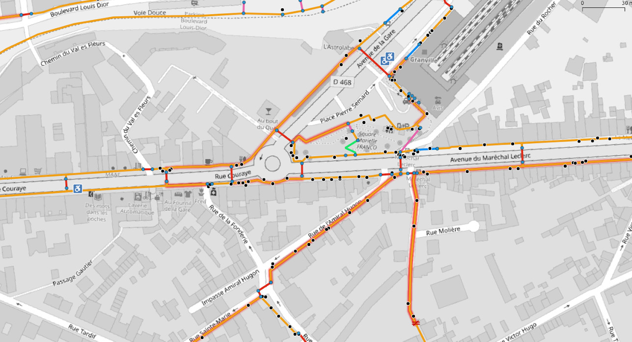
Accessibility Assessment
We support local authorities and organisations in assessing the accessibility of public spaces and transport networks.
- For local authorities, public institutions, and transport operators
- Delivered as a turnkey assessment, adaptable to national and local regulatory frameworks
- Includes actionable recommendations and a prioritised action plan
Walkability Assessment
We carry out walkability diagnostics for cities, to identify and prioritise pedestrian-related challenges, and support local authorities in developing comprehensive pedestrian action plans.
- For local authorities, urban planning agencies and transport operators
- A turnkey service
- Mapping tools and analyses to explore pedestrian issues in each area
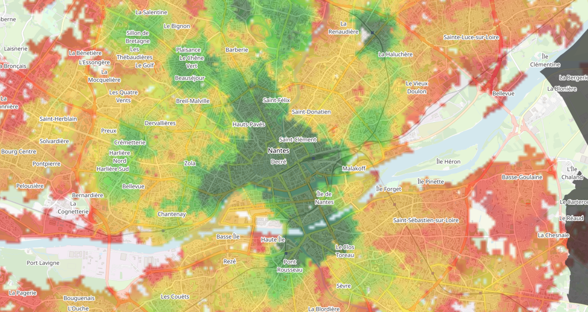
Walkability Assessment
We carry out walkability diagnostics for cities, to identify and prioritise pedestrian-related challenges, and support local authorities in developing comprehensive pedestrian action plans.
- For local authorities, urban planning agencies and transport operators
- A turnkey service
- Mapping tools and analyses to explore pedestrian issues in each area