
Accessibility assessment, for local authorities
Our service
We support local authorities in building their accessibility action plans and in collecting and publishing standardised accessibility data.
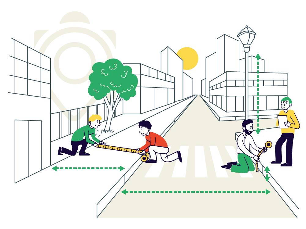
To make this data collection easier, Someware has designed 2 solutions
Learn more about Acceslibre Mobilités and QAccess
Accèslibre Mobilités
The tool developed for the French Ministry of Transport (DGITM) to assess city accessibility of cities in line with national accessibility regulations (Mobility Orientation Act).

QAccess
A QGIS/QField project and an open-source data format specifically designed to simplify the collection, quality control, and analysis of accessibility data.
What our service includes
Setting up the data-collection tool
The data collection solution (Acceslibre Mobilités and/or QAccess) is set up and configured using your base maps (aerial imagery, etc.) and existing datasets.
Precisely defining the data collection scope
Based on priority stops, travel-generating hubs, and thebudget allocated to the project.
Team training
Training on how to use the tools, as well as on standardised accessibility data models.
Carrying out the data collection
Field collection of accessibility data for your area.
Quality control.
Data analysis, GIS integration, and publication
Data analysis Implementation of integration mechanisms into your GIS / DBMS Support for Open Data publication
Our clients












Why is it important to carry out an accessibility audit?
It helps you better understand the mobility challenges of your area, for people with reduced mobility (PRM) as well as seniors, children, and all pedestrians.
As a result, it enables you to plan more relevant and inclusive improvements for everyone.
Finally, it helps better guide users through route-planning tools.
Is the diagnostic mandatory?
In many regions, accessibility data collection (roads and public transport networks) is a legal requirement for transport authorities, and local governments are often required to produce and regularly update a formal accessibility action plan.
The most effective approach is to combine these requirements into a single accessibility diagnostic project.
For which users?
For people with disabilities or reduced mobility, as well as seniors, children, and all pedestrians, who will benefit from safer and more comfortable options for getting around.